The Season-long pattern will continue for the 1st week of August with above average temperatures roughly east of a line from Milwaukee to extreme west Texas. Near normal elsewhere except below normal along the Pacific coast from SanFran north.
This week brings a brief pull-back in the heatwave out of NYC and New England although it will return (but not quite as strongly) to much of the northeast on the 28th and continue thru the 1st. During round 2, NYC max temps should reach 90F with heat index near 100F. Of course, the area of excessive heat will persist thru the period over the southeast, southern plains, central plains, Tx, the Dakota's, and regions of Montana and Wyoming east of the Rockies. Last weeks heatwave will show up in this weeks injection numbers which i expect to be lower to much lower than the 5 yr average.
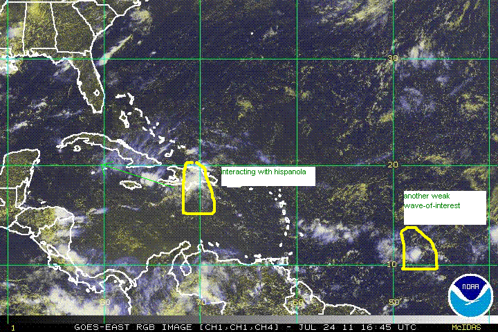
in the Carribean, a disorganized tropical wave just south of Hispanola this morning has been moving west at 15-20 mi/h. Despite several flare-ups in intensity during the last few days it has not been able to establish a compete surface circulation. Development, if any, will be slow to occur and will only be possible if the wave enters the Gomex intact on Tuesday or Wednesday. The hurricane center gives this disturbance a 10% chance of formation which seems about right. As we get into August, the probability of hurricanes increases dramatically. The longer range forecasts for the first 2 weeks of august show an increasingly favorable environment for Carribbean/Gomex development.