Conditions should be warmer than average over the Pacific NW, most of California, the Great Basin and southern NV in the west, and the extreme Gulf coast, Florida, lower Midwest, Ohio Valley, and the Atlantic Seaboard states in the east. Elsewhere will be near average except for the Colorado Front Range and Rockies due to heavy rainfall in the area the week before.
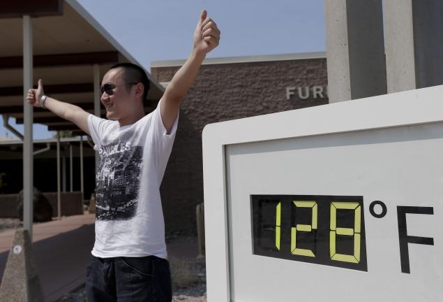
This week will initially feature a very strong ridge in the SW that will only very gradually weaken. Hence, at least for a few more days, record and near record day and night temperatures are expected over the SW; quite dangerous even for people used to the heat of the desert. Hot conditions will extend in the West up to and beyond the Canadian border. Meanwhile, in the East, a large trough centered over the Lower Mississippi Valley will gradually weaken in-place.The flow between this trough and the seasonal Bermuda high offshore is southerly and is coming off the tropical Atlantic and Gulf of Mexico. It is moisture-laden and consequently heavy precipitation from thunderstorms is expected over much of the east coast during the week with maximum accumulation over the Appalachians from Tennessee to Northern NY state and the highest Maximums over West Virginia and western Virginia along the Blue Ridge. Significant flooding can be expected the region. By the end of the week the Bermuda high will be building over the SE bringing increasing temperatures -hot conditions- to that region.
NG injections to be reported this Thursday should be near average as warm conditions in the west were balanced by cool conditions in the NE last week. The pattern is quite unbalanced this week and cooler air shunting down the SW high into the center of the country plus persistent rain and cloud cover in the east will reduce NG demand and so injections to be reported July 11 should be significantly (more than 10%) higher than average.